

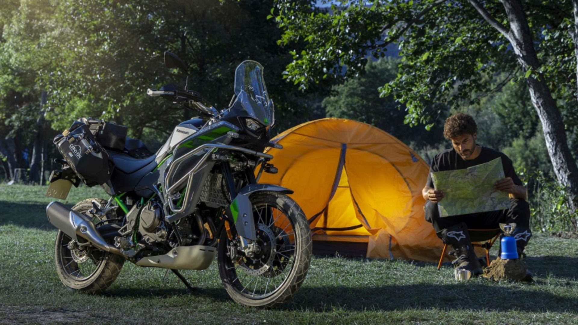
 Fall is the best season to ride in the North Carolina mountains. The air turns crisp, the summer haze lifts, and the ridges around Waynesville light up in red, orange, and gold. If you’ve been waiting all year for a good excuse to take a long ride, this is it.
The trick is knowing where to go and when. Color moves down the mountains a little each week, and road conditions can change fast in the high country. This guide covers four fall motorcycle rides in NC that start close to home in Haywood County, plus the timing, closures, and safety tips that help you enjoy every mile.
Quick Summary
- Fall color starts on the highest peaks and works its way down into the valleys over October.
- The Blue Ridge Parkway near Waynesville was open from US 276 all the way to Cherokee as of November 2, 2026, but one section farther north is still closed after Hurricane Helene.
- Our four favorite routes are two Parkway runs, the Forest Heritage Scenic Byway loop, and the Cherohala Skyway.
- Expect tight curves, cold mornings, wet leaves, and spotty cell service, and plan for each one.
- A quick fall check of tires, brakes, and battery makes a big difference on mountain roads.
The Short Answer: Where Are the Best Fall Motorcycle Rides in NC?
The best fall motorcycle rides in Western NC are the Blue Ridge Parkway between US 276 and Cherokee, the Forest Heritage Scenic Byway loop on US 276 and NC 215, and the Cherohala Skyway out of Robbinsville. Ride the high elevations in early to mid October and the lower valleys later in the month. Always check the National Park Service closure page before you leave.
When the Color Shows Up in the Mountains
Typical Peak Timing
There is no exact date for peak color, and anyone who promises one is guessing. The National Park Service says scattered trees at high elevations can start to turn as early as late September, but most trees change during October, starting early in the month on the highest peaks and moving down into the lower elevations as the month goes on (National Park Service, Blue Ridge Parkway Fall Colors). The trip-planning site BlueRidgeParkway.org puts it simply: peak usually comes in mid to late October, depending on your elevation (BlueRidgeParkway.org).
Why Elevation Helps Riders
That timing works in a rider’s favor. The roads near Waynesville climb from valley floors to some of the highest pavement in the East. So if the color is past its best on one ridge, you can often find it a few thousand feet lower on the same ride.
Weather and Color
Weather plays a big part, too. The Park Service notes that bright, sunny, cool days and cool nights that stay above freezing bring the best color, while warm, wet, or cloudy weather tends to mute it (National Park Service). Keep an eye on the forecast, and be ready to go when a clear stretch arrives.
Check Parkway Closures Before You Ride
What Is Open Near Waynesville
Hurricane Helene did serious damage to parts of the Blue Ridge Parkway, and repair work is still going on. As of November 2, 2026, the Park Service listed the Parkway as open from US 276 (milepost 411.9) all the way south to the end at US 441 (milepost 469.1). That covers every Parkway route in this guide (National Park Service, Road Status and Closures).
What Is Still Closed
Farther north, the picture is different. On that same date, the section from NC 80 to Mount Mitchell State Park (mileposts 344.2 to 355.3) was still closed for Helene damage, and the Park Service listed short single-lane closures in other sections (National Park Service). If you plan a longer trip toward Asheville or beyond, map your detour ahead of time.
Check Status the Morning You Ride
Conditions change, sometimes in a single day. Open the NPS road status page the morning you ride, not the night before. High sections can close for weather even when everything else is open.
Four Fall Motorcycle Routes in Western NC
Here are our four favorite rides, one at a time.
Route 1: Blue Ridge Parkway, Balsam Gap to Cherokee
This is the easy one to start with, and it’s close. From Waynesville, US 23/74 meets the Parkway at Balsam Gap, milepost 443.0 (National Park Service). Head south, and you have about 26 miles of Parkway to the southern end at US 441 near Cherokee.
The big stop is Waterrock Knob at milepost 451.2. Its visitor center sits at 5,820 feet, the highest on the Parkway, and it’s known for long-range views that suit sunrise and sunset rides (National Park Service, Waterrock Knob). Plan a layer for this stop. The Park Service notes that the weather up there is often completely different from the valleys below.
Past Waterrock Knob, you’ll cross Soco Gap at US 19 (milepost 455.7), another way back toward home if you want a shorter ride. The Heintooga Spur Road at milepost 458.2 was also listed as open (National Park Service). This section is a good half-day ride with plenty of places to pull over.
Route 2: Blue Ridge Parkway, Balsam Gap to US 276
Turn north at Balsam Gap instead, and you climb into the high country. About 11.6 miles up the road is Richland Balsam Overlook at milepost 431.4. At 6,053 feet, it’s the highest point on the entire Parkway motor road (National Park Service, Richland Balsam Overlook). The spruce and fir forest there looks more like Canada than Carolina.
Keep riding north and you’ll pass Beech Gap at NC 215 (milepost 423.2), Black Balsam Road at milepost 420.2, and Graveyard Fields Overlook before reaching US 276 at milepost 411.9 (National Park Service). That’s roughly 31 miles of the highest, most dramatic Parkway riding in the state.
Because these are the highest elevations, this route usually colors up first. It’s also the coldest stretch on any fall morning. Go a little later in the day, once the sun has warmed the road and burned off any fog.
Route 3: Forest Heritage Scenic Byway Loop
If you want a full day, the Forest Heritage Scenic Byway is a classic. It’s a 79-mile loop through the Pisgah Ranger District and the surrounding countryside (National Scenic Byway Foundation). The loop runs on NC 215, US 276, and US 64, meeting the Blue Ridge Parkway at Beech Gap on NC 215 and again on US 276 (Wikipedia, Forest Heritage Scenic Byway).
From Waynesville, you can pick it up in Woodrow, where NC 215 and US 276 meet (Wikipedia). NC 215 climbs to the Parkway at Beech Gap, milepost 423.2. US 276 crosses the Parkway at milepost 411.9 and then drops down toward Brevard (National Park Service). Expect a full day of mountain curves with long stretches of national forest on every side.
Here’s a tip. Because the loop meets the Parkway at two points, you can ride it as a figure eight. Run up NC 215, take the Parkway between Beech Gap and US 276, and come down US 276. You get some of the best byway riding and some of the best Parkway riding in one trip.
Route 4: Cherohala Skyway from Robbinsville
The Cherohala Skyway is a 43-mile National Scenic Byway that runs from Robbinsville, NC, to Tellico Plains, TN. It climbs from about 900 feet to more than 5,400 feet through the Cherokee and Nantahala National Forests, which is where the name comes from (National Scenic Byway Foundation, Cherohala Skyway). The North Carolina side follows NC 143 for about 18 miles.
The Skyway is well known among riders for its sweeping corners and scenic views (Tail of the Dragon, Cherohala Skyway). That makes it a good pick for riders who want to settle in and enjoy the views. The Byway Foundation notes that its peak color often comes in the last two weeks of October, with the earliest changes up high in late September (National Scenic Byway Foundation).
Plan your fuel stop before you leave Robbinsville. The Swain County Chamber of Commerce notes there are no restrooms, gas stations, or places to eat on the Skyway itself, and it asks drivers to keep to the posted 40 and 45 mph limits on the curves (Bryson City and Swain County Chamber of Commerce). Fill up in town and carry water and a snack.
Riding Smart in Fall Conditions
Cell Service and Navigation
Mountain roads in October ask more of a rider than summer roads do. The Park Service warns that cell phones don’t work in many places along the Parkway and that GPS is sometimes unreliable (National Park Service, Blue Ridge Parkway FAQ). Tell someone your route and your expected return time before you go.
Curves and Tunnels
The Parkway also has curve shapes that catch people off guard. The Park Service explains that a “decreasing radius curve” tightens as you go through it, which is a design feature of the road that calls for extra care (National Park Service). Enter curves slower than you think you need to, and look as far through the turn as you can.
Tunnels deserve attention, too. The Parkway has 26 tunnels, and all but one are in North Carolina, mostly south of Asheville (National Park Service). South of Asheville is exactly where the Parkway routes in this guide run.
Fall Hazards to Expect
Keep these fall hazards in mind on every ride:
- Wet leaves and shade. Leaves on the pavement can be very slick, especially in shaded curves that stay damp all day.
- Cold tires and cold mornings. Give your tires a few easy miles to warm up before you lean hard.
- Tunnel light changes. Your eyes need a moment to adjust going in and coming out, so slow down and consider clear or light-tint eyewear.
- Wildlife. Deer are active in fall, especially early and late in the day.
- Layers. The highest overlooks can feel much colder than downtown Waynesville, so pack a warm layer and full-finger gloves.
If you’re newer to mountain riding, start with the Parkway routes and read our guide to motorcycle safety tips for mountain riding in Western NC before you go.
Use the Overlooks
Parkway overlooks are your friend. The Park Service recommends pulling into overlooks to enjoy the view and let other drivers pass (National Park Service). Stopping often keeps you fresh and keeps your eyes on the road when you’re moving.
Get Your Bike Ready Before the Leaves Peak
Check the Basics
A good fall ride starts in the garage. Check your tire pressure and tread, since cold air drops pressure and mountain curves expose worn tires fast. Look at your brake pads, test your lights, and make sure your battery is strong enough for cold starts at altitude.
Book Service or Browse Bikes
If you’d like a second set of eyes, our service team can help. You can schedule service online for tire changes, oil changes, and a full diagnosis before your trip. If you’re thinking about a new or different bike for next season’s rides, take a look at our motorcycle dealer page to see what we carry.
Parts and Towing
Doing the work yourself? Our sister store, Carolina Cycle, sells genuine OEM parts online, so you can order the filter, pads, or battery your bike needs. And if you’re trailering to a starting point like Robbinsville, read our guide on how to safely tow your powersports vehicle.
Frequently Asked Questions
When is the best time for fall motorcycle rides in NC?
Most color in the North Carolina mountains comes during October. It starts on the highest peaks early in the month and moves down into the valleys as the month goes on, according to the National Park Service.
Is the Blue Ridge Parkway open near Waynesville?
As of November 2, 2026, the Parkway was listed as open from US 276 (milepost 411.9) to the southern end at US 441 (milepost 469.1). Check the NPS road status page the day you ride, since conditions change.
What part of the Blue Ridge Parkway is still closed after Helene?
On November 2, 2026, the Park Service listed the section from NC 80 to Mount Mitchell State Park, mileposts 344.2 to 355.3, as closed for Helene damage. Other sections had short single-lane closures for repair work.
What is the highest point on the Blue Ridge Parkway?
Richland Balsam Overlook at milepost 431.4 is the highest point on the Parkway motor road, at 6,053 feet. It’s about 11.6 miles north of Balsam Gap, where US 23/74 meets the Parkway.
How long is the Cherohala Skyway?
The Cherohala Skyway is 43 miles long and runs from Robbinsville, NC, to Tellico Plains, TN. About 18 miles of it are in North Carolina on NC 143.
Can Waynesville Cycle Center get my motorcycle ready for a fall trip?
Yes. Our service department handles tire changes, oil changes, and diagnosis, and you can book online or contact us to talk through what your bike needs.
Find Your Color and Enjoy the Ride
Western North Carolina has some of the best fall riding in the country, and much of it starts within a short ride of Waynesville. Pick a route that fits your skill and your schedule, check the closure page, and dress for the high country. Then take your time and enjoy it.
Have a question about a route, gear, or getting your bike ready? Contact Waynesville Cycle Center. We’ve been going on adventures since 1970, and we’re always glad to talk about a good ride.